An online project under the direction of the CAPE ANN MUSEUM
Penobscot Bay
View related Fitz Henry Lane catalog entries (6) »
"Penobscot Bay is Maine's grandest stretch of water, and its largest, measuring 20 miles across from Whitehead Island to Isle au Haut and trending 30 miles north to the mouth of its equally superlative namesake river. Encompassing almost 1000 miles of shoreline and encircling 624 islands and ledges, Penobscot Bay is also the second-largest embayment on the east coast of the United States, after Chesapeake Bay. Giovanni da Verrazano, an early explorer, captivated by the site of the bay's channels and islands, wrote "all near the continent; small and pleasant in appearance, but high, following the curve of the land; some beautiful ports and channels are formed between them, such as those in the Adriatic Gulf in Illyria and Dalmatia…"
Penobscot Bay was, in every respect, a maritime community in the nineteenth century. The Island Kingdoms, with their cod fisheries, shipyards, and small farms, were tied commercially and economically to such large ports on the mainland as Rockland, Belfast, Bangor, Castine, and small ports of Mount Desert. The Islanders owned their own small fleets of coasters, finding cargo all along the coast, from the Maritimes to Portland and beyond. The glue that held this community together was family, extended family, there were no strangers in Penobscot Bay, among the coastal towns, or among the islands, for family members, as shipwrights, sailors, fishermen, merchants, and farmers, or by the simple act of marriage, formed close knit bonds which established a unique maritime culture.
– Mark Honey
References:
Conkling, Philip W, "Islands in Time," A Natural and Cultural History of the Islands of the Gulf of Maine, Island Institute, Rockland, and Downeast Books, Camden, page 64.
Honey, Mark E, "Abigail & Sarah Hawes of Castine," Navigators & Educators, with Lois Moore Cyr, 1996.
Honey, Mark E, "Before the Mast," Volume IV, articles 7-9, Holbrook Island and the Holbrook family, and in particular, Robert Applebee, "Vessels of the Penobscot Customs District," Stephan Phillips Memorial Library, Penobscot Marine Museum, Searsport, which source also has the diaries of Capt. Jonathan Holbrook and the genealogy of the Holbrook family in the Priscilla Jones collection. The "Before the Mass" series can be found in the collections of the Castine Historical Society and the Wilson Museum, both in Castine.
Honey, Mark E, "King Pine, Queen Spruce, Jack Tar," An Intimate History of Lumbering on the Union River, Volumes 1-5. This source, in its entirety, lays down the foundation of Downeast Maine's unique culture which was built upon pine lumber and timber, the cod fisheries, coasting, shipbuilding, and the interrelationships of family and community.
Jellison, Connee, "Hancock County," a rock found paradise, A Bicentennial Pictorial, The Donning Company, Norfolk, Virginia, 1990.
McLane, Charles B, and McLane, Carol Evarts, "Islands of the Mid-Maine Coast," Penobscot Bay, Volume 1, Revised Edition, Tilbury House, Publishers, Gardiner, Maine, and the Island Institute, Rockland, Maine.
McLane, Charles B, and McLane, Carol Evarts, "Islands of the Mid-Maine Coast," Mount Desert to Machias Bay, Volume 2, The Kennebec River club Press, Incorporated, Falmouth, 1989.
Chart
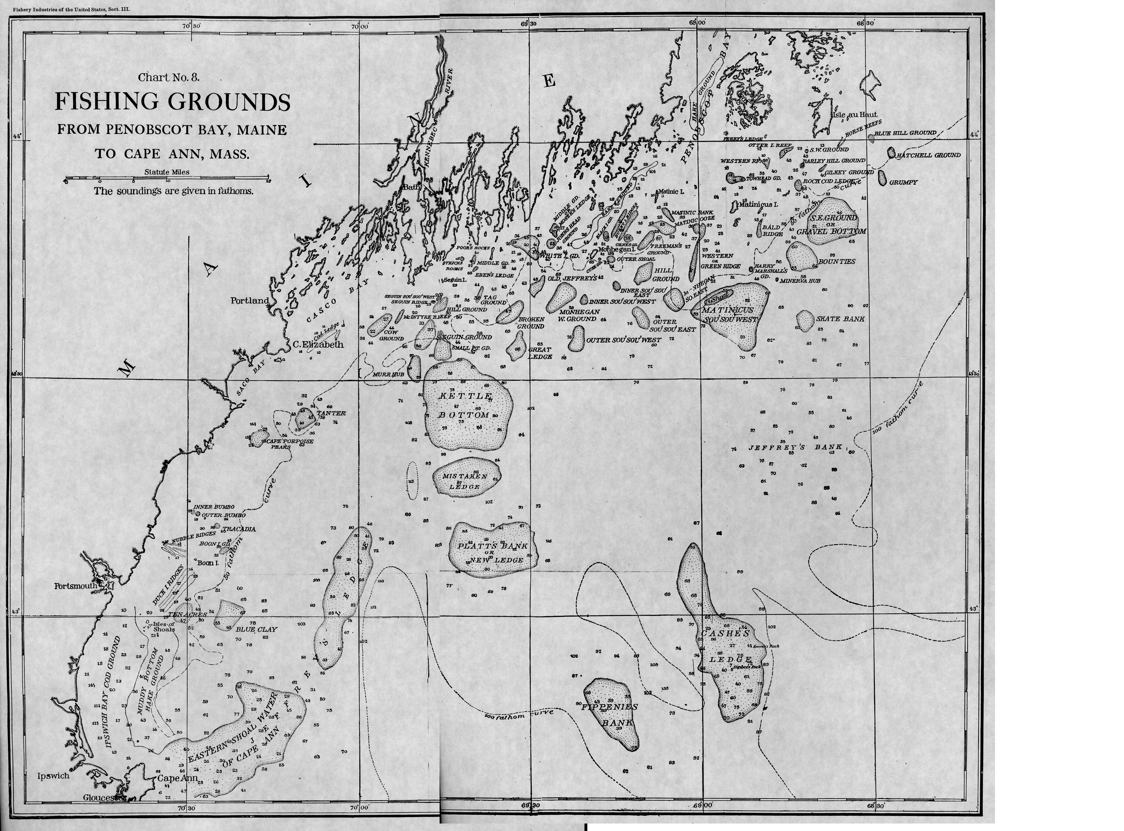
Fishery Industries of the United States, Sect. 3
Also filed under: Fishing »
Chart
U.S. Coast Survey
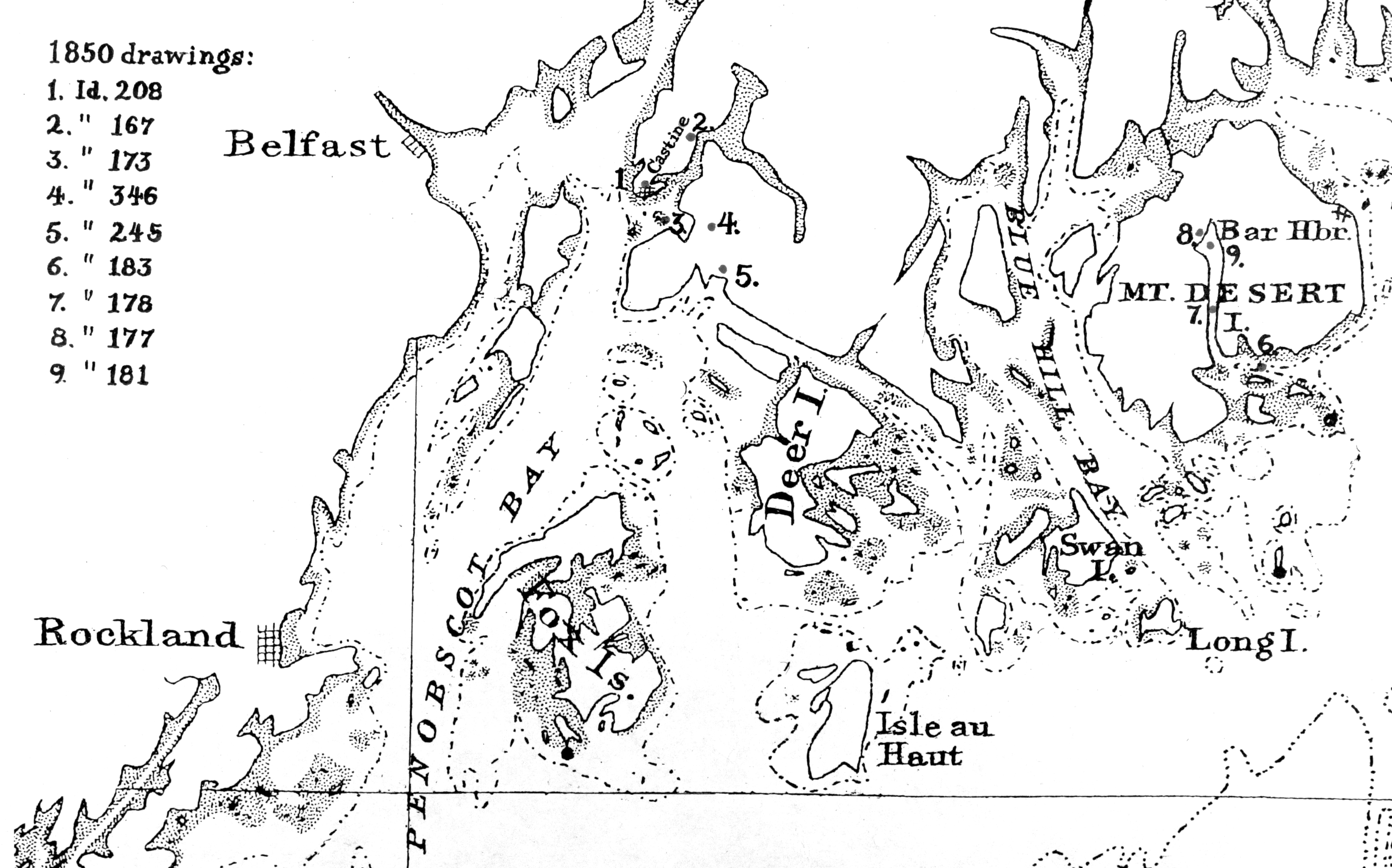
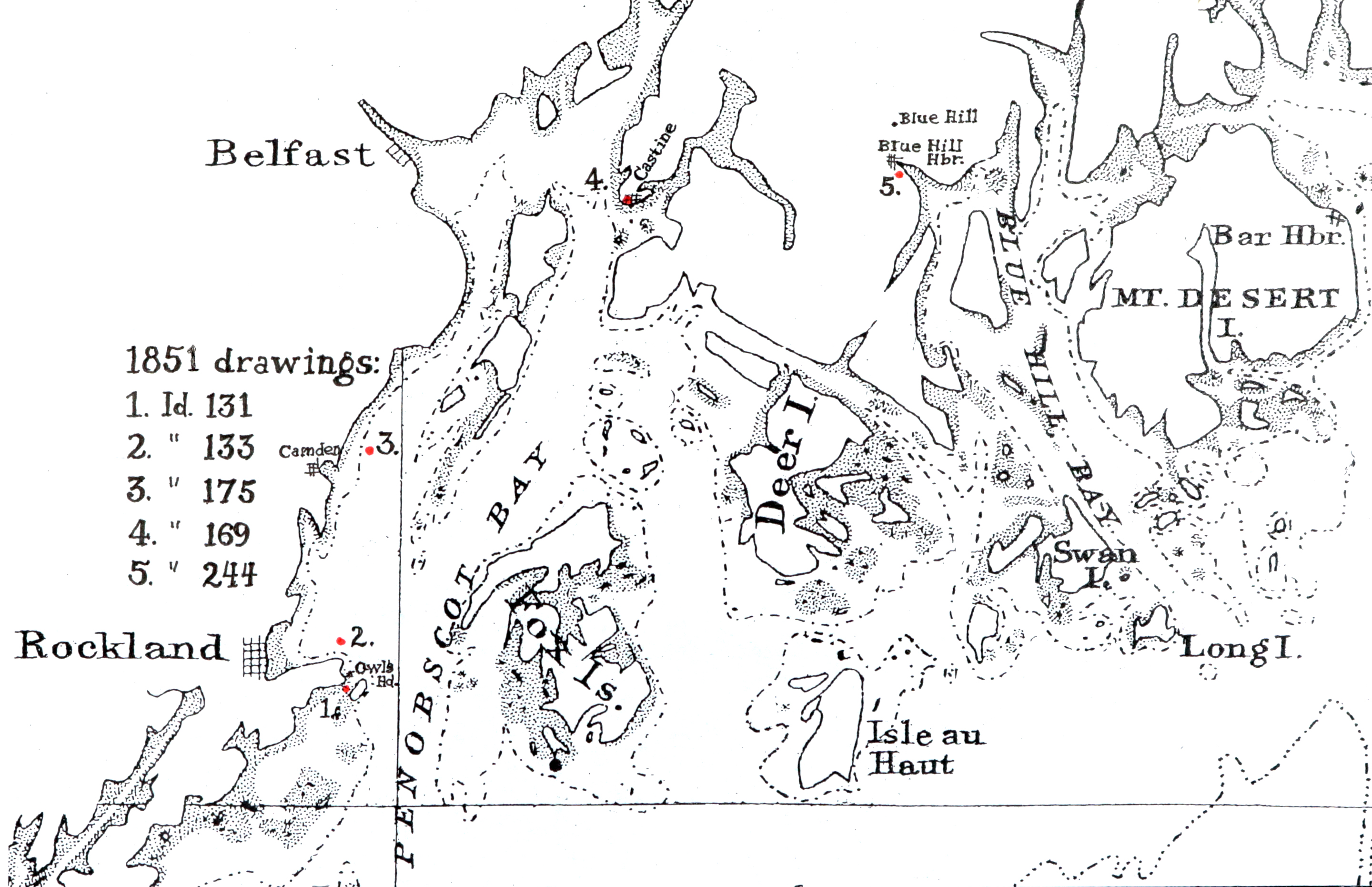
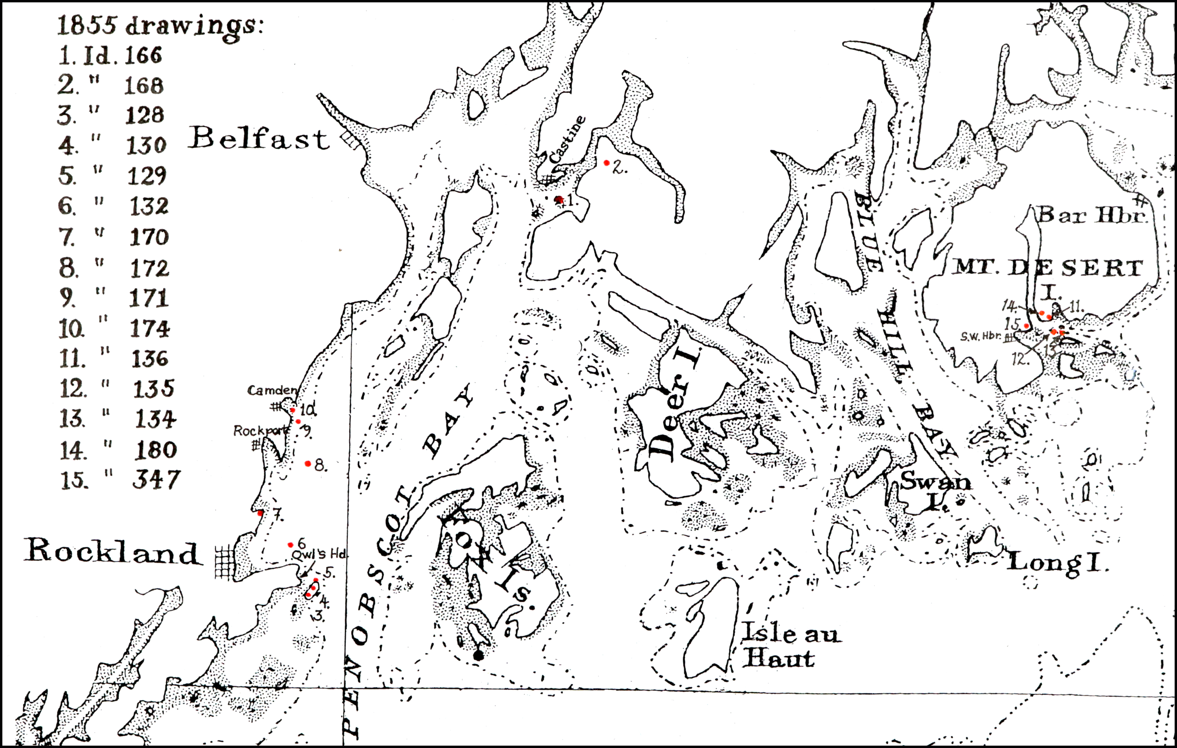
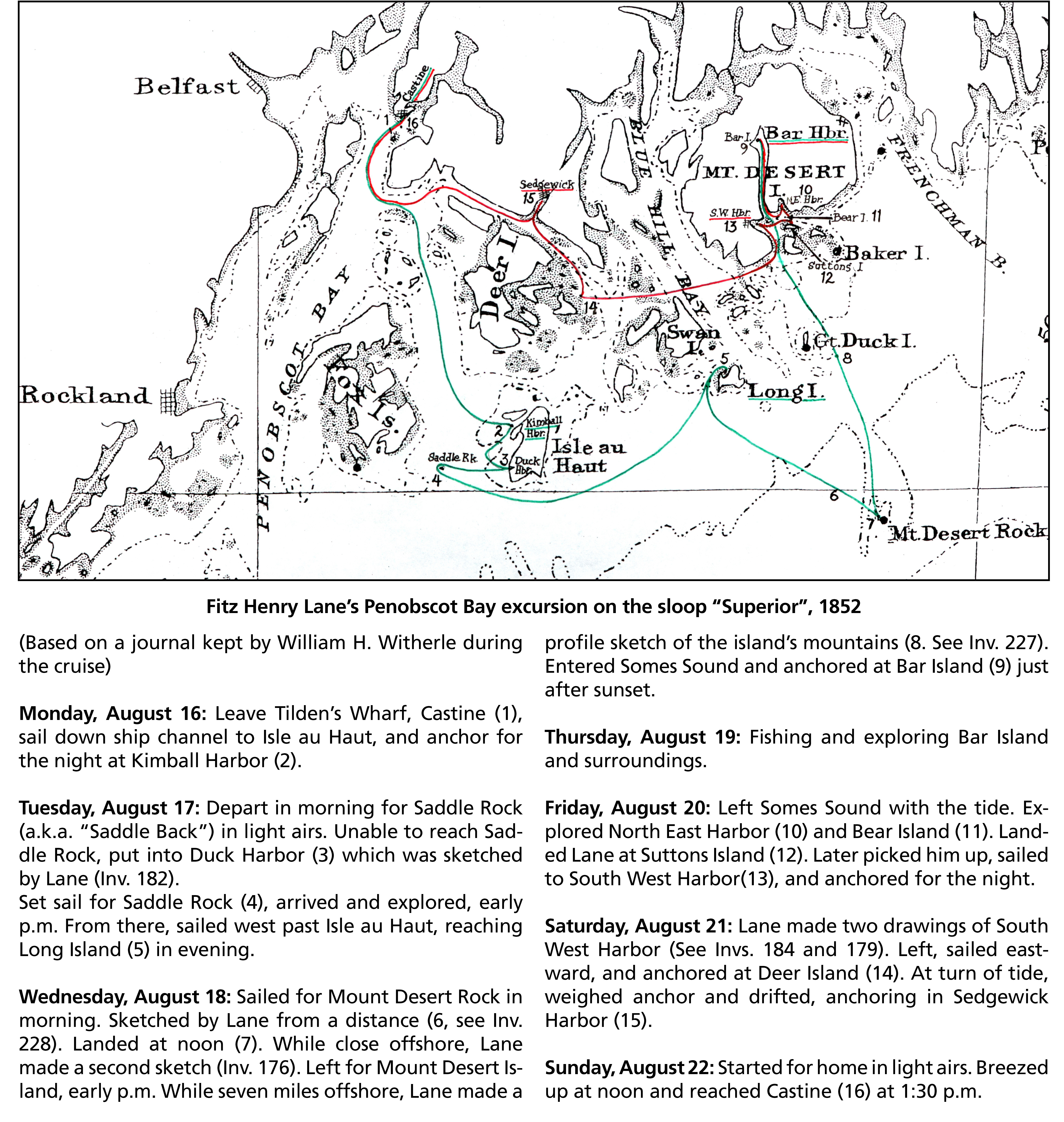
Chart with key showing the route of an excursion on the sloop "Superior" out of Castine made by William H. Witherle, Lane, Stevens and friends during which Lane made several sketches of Mt. Desert scenery. The trip was chronicled by Witherle in his diary of 1852.
Wilson Museum, Castine, Maine.
Library of Congress Catalog Number 2011588006
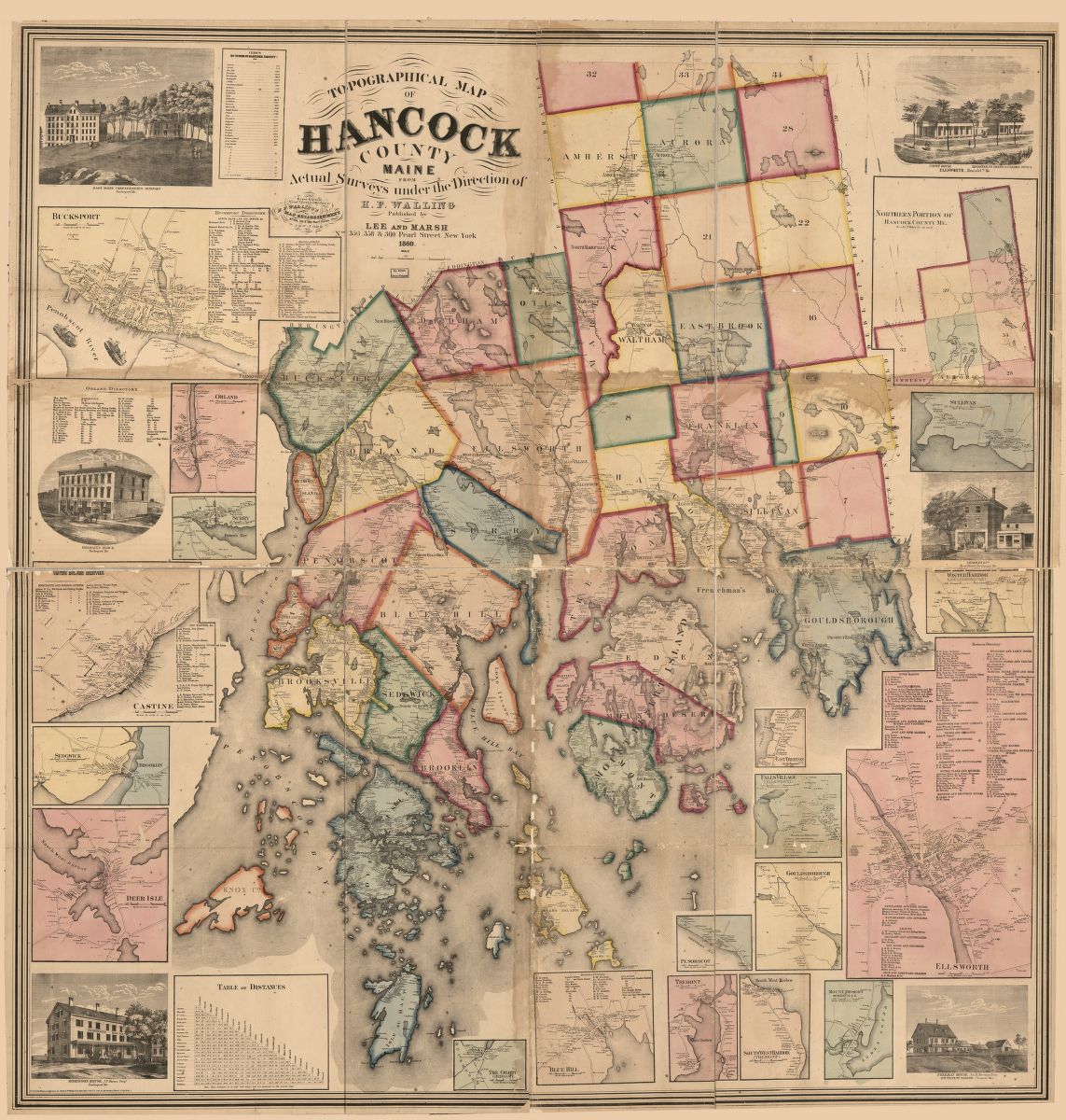
1860 map, including census of towns.
Also filed under: Castine » // Maps » // Mount Desert Island & Rock »