An online project under the direction of the CAPE ANN MUSEUM
Historical Materials: Cape Ann Locales
Historical Materials » Cape Ann Locales » Fresh Water Cove
You have navigated to this pages from catalog entry: Brookbank, The Sawyer Homestead, 1860 (inv. 216)
Fresh Water Cove
View related Fitz Henry Lane catalog entries (13) »
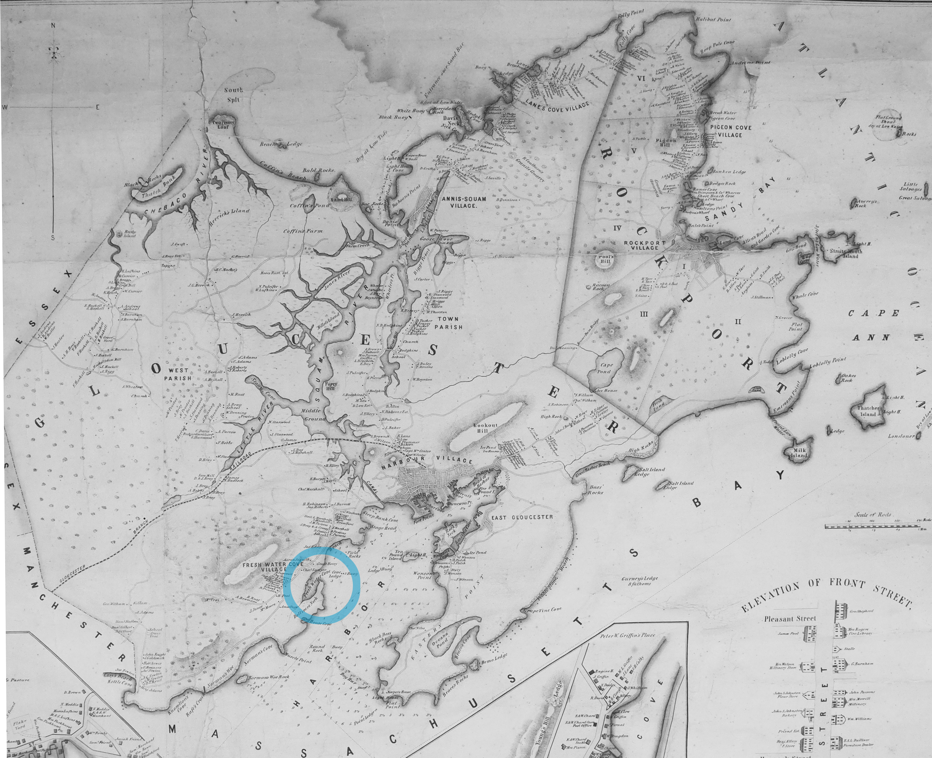
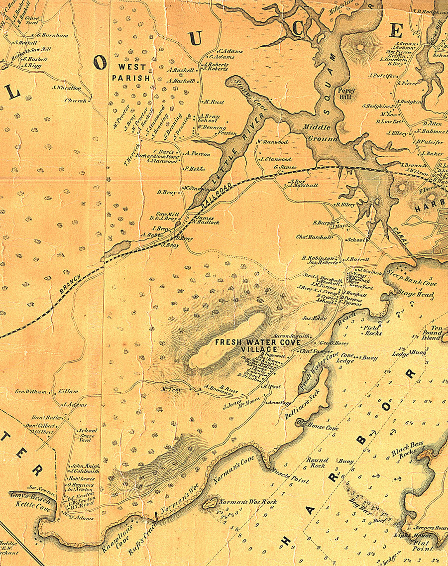
Fresh Water Cove is located on the west side of Gloucester’s Outer Harbor. It is protected from the harbor waters and the south-easterly seas by the arm of Dolliver’s Neck reaching north from the western shore. It’s a small, very still cove, only a few hundred yards from its mouth to the innermost shore.
The cove was visited by Samuel de Champlain in 1606. He was the first known European to enter Gloucester Harbor, which he named Le Beauport. He named Fresh Water Cove for the fresh water springs he found there, one a bit up from the shore, the other flowing below the high tide line and only accessible at half tide.
The cove, while very well protected from the weather, is small and very shallow at low tide and was never suitable for any large vessels, though there were fishing shacks along the shores edge and small boats were easily pulled up on the sand and salt marsh in its inner recesses. There was a wharf built in the early 1800s to service a granite quarry just up the hill from the cove, which could apparently handle larger vessels at high tide.
In Lane’s time, the most significant landmark from the cove was Brookbank, the Sawyer homestead where Samuel E. Sawyer was born in 1818. Sawyer made a fortune in Boston and returned to Brookbank every summer for fifty years. He became one of Gloucester’s first philanthropists. Lane did a series of paintings from the fields in front of Brookbank looking to the east from the house over Fresh Water Cove, the arm of Dolliver’s Neck and the harbor beyond. He also painted the opposite view in Fresh Water Cove from Dolliver's Neck, Gloucester, Early 1850s (inv. 45) looking west from Dolliver’s Neck over the cove to the Sawyer homestead and surrounding shoreline. Each of these paintings captures the perfect serenity of a high summer day in this secluded cove just off the busy harbor.
Related tables: Brookbank » // Granite Quarrying / Shipping » // Jacquith, Aaron » // Steepbank » // Town / Public Landings »

Stereograph card
Cape Ann Museum Library & Archive
Also filed under: Brookbank »
44 x 34 in.
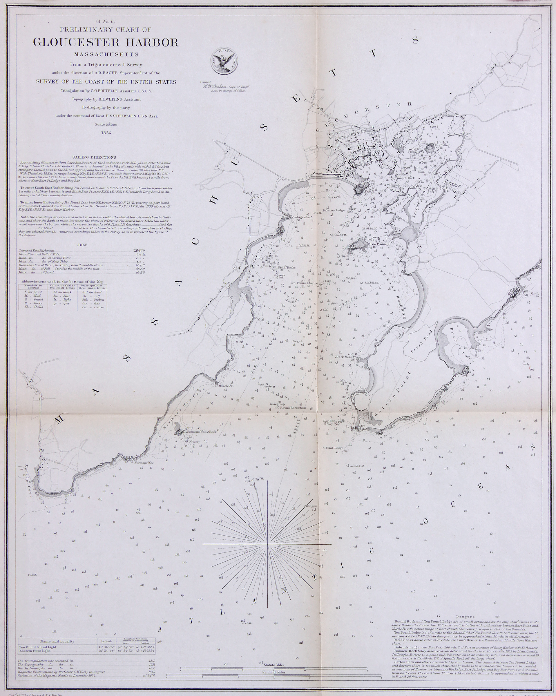
Henry Francis Walling, Map of the Towns of Gloucester and Rockport, Essex Co. Massachusetts. Philadelphia, A. Kollner, 1851
Cape Ann Museum Library & Archive
"Map of the Towns of Gloucester and Rockport, Massachusetts. H.F. Walling, Civil Engineer. John Hanson, Publisher. 1851. Population of Gloucester in 1850: 7,805. Population of Rockport in 1850: 3,213."
Also filed under: Annisquam River » // Brookbank » // Dolliver's Neck » // Gloucester Harbor, Outer » // Maps » // Norman's Woe » // Stage Rocks / Stage Fort / Stage Head » // Steepbank » // West Gloucester – Little River » // Western Shore »
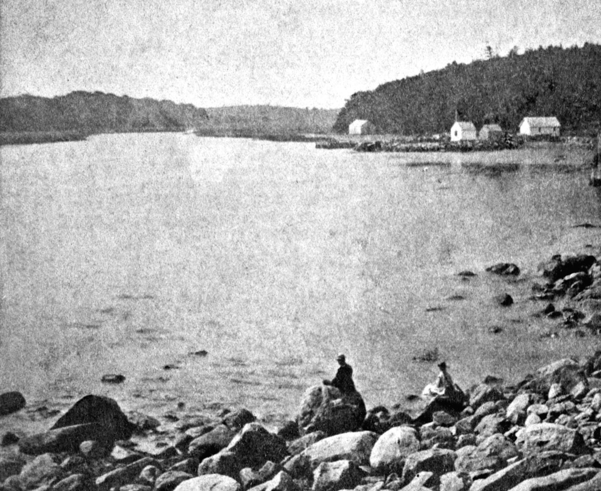
Stereograph card
Cape Ann Museum Library & Archive
Taken from Steepbank, on the western side of Gloucester Harbor, and showing a small boat at anchor in the cove, then the Neck, and the sea beyond.
Also filed under: Dolliver's Neck » // Historic Photographs » // Lone Pine » // Steepbank »
Newspaper
"Mr. Lane has just completed a third picture of the Western Shore of Gloucester Harbor, including the distance from 'Norman's Woe Rock' to 'Half Moon Beach.' It was painted for Mr. William E. Coffin of Boston, and will be on exhibition at the artist's rooms for only a few days; we advise all our readers who admire works of art, and would see one of the best pictures Mr. Lane has ever executed..."
"...solitary pine, so many years a familiar object and landmark to the fisherman."
Newsprint
From bound volume owned by publisher Francis Procter
Collection of Fred and Stephanie Buck
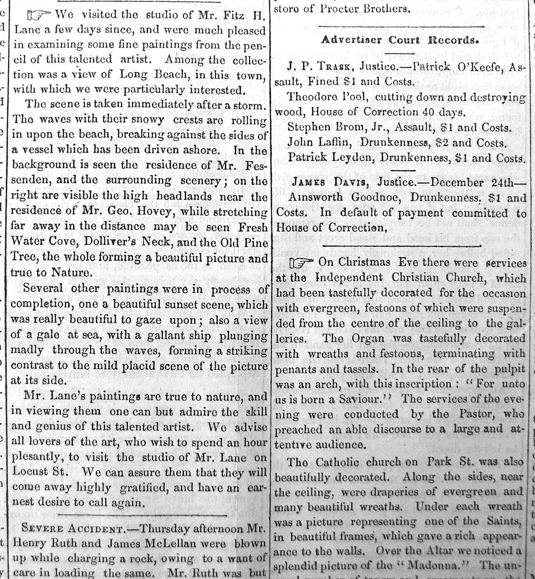
"We visited the studio of Mr. Fitz H. Lane a few days since, and were much pleased in examining some fine paintings from the pencil of this talented artist. Among the collection was a view of Long Beach, in this town, with which we were particularly interested.
The scene is taken immediately after a storm. The waves with their snowy crests are rolling in upon the beach, breaking against the sides of a vessel which has been driven ashore. In the background is seen the residence of Mr. Fessenden, and the surrounding scenery; on the right are visible the high headlands near the residence of Mr. Geo. Hovey, while stretching far away in the distance may be seen Fresh Water Cove, Dolliver's Neck, and the Old Pine Tree, the whole forming a beautiful picture and true to Nature.
Several other paintings were in process of completion, one a beautiful sunset scene, which was really beautiful to gaze upon; also a view of a gale at sea, with a gallant ship plunging madly through the waves, forming a striking contrast to the mild placid scene of the picture at its side.
Mr. Lane's paintings are true to nature, and in viewing them one can but admire the skill and genius of this talented artist, We advise all lovers of the art, who wish to spend an hour pleasantly, to visit the studio of Mr. Lane on Locust St. We can assure them that they will come away highly gratified, and have an earnest desire to call again." (1)
(1) See p. 2, column 3, Courtesy of the American Antiquarian Society
Stereograph card
Cape Ann Museum Library & Archive
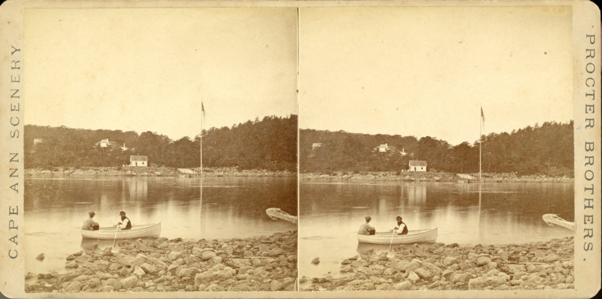
A view of a Cove on the western side of Gloucester Harbor, with the landing at Brookbank. Houses are seen in the woods back. A boat with two men is in the foreground.
Also filed under: American ensign / flag » // Brookbank » // Historic Photographs »
4 x 5 in.
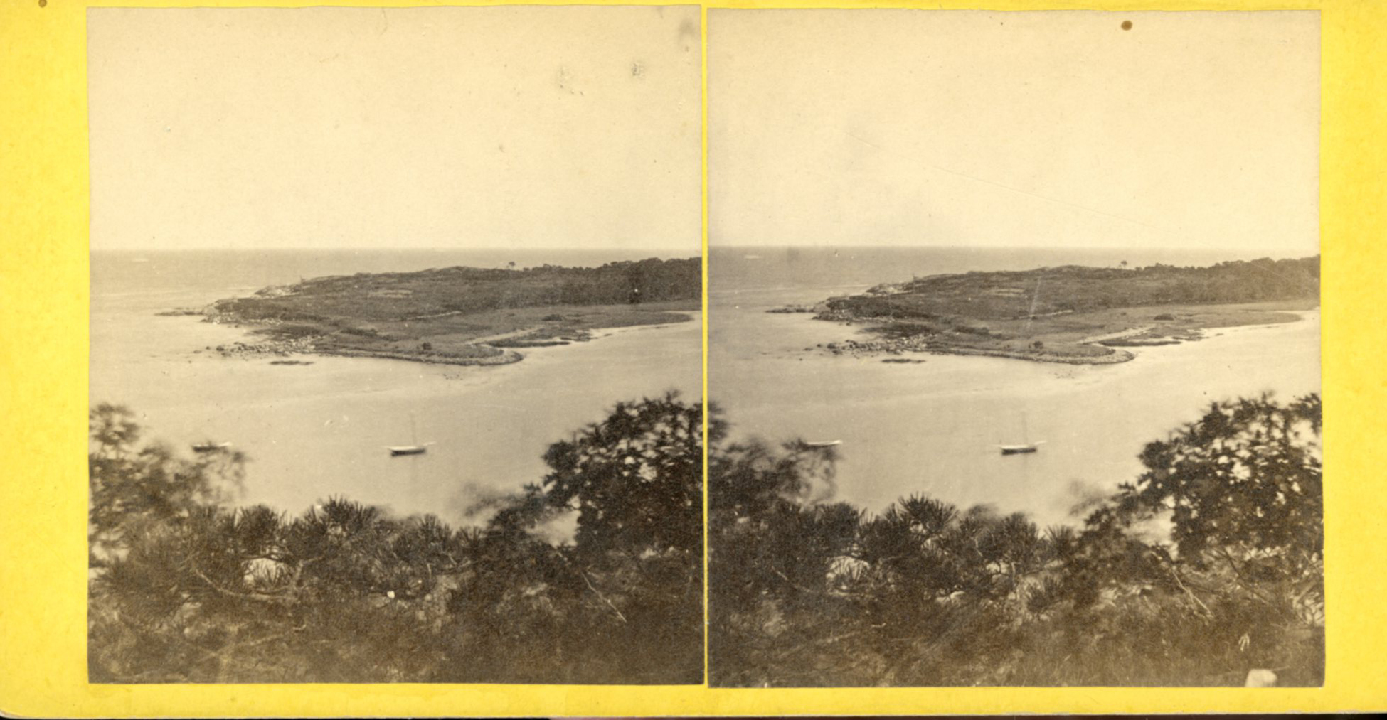
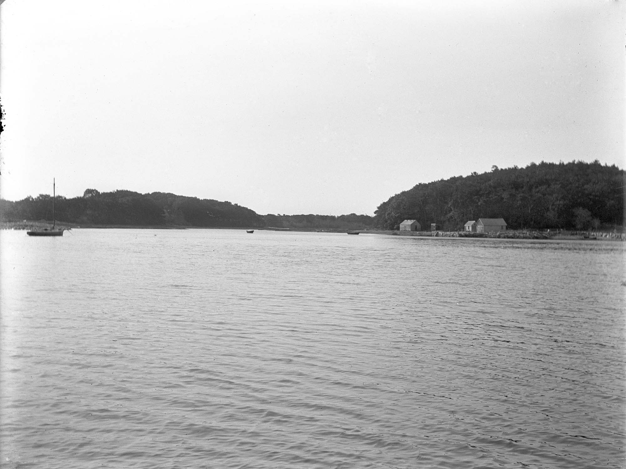
Cape Ann Museum Library & Archive
Freshwater Cove and Dolliver's Neck from the water off Stage Fort.
Also filed under: Dolliver's Neck »