Fitz Henry Lane
HISTORICAL ARCHIVE • CATALOGUE RAISONNÉ • EDUCATIONAL RESOURCE
An online project under the direction of the CAPE ANN MUSEUM
An online project under the direction of the CAPE ANN MUSEUM
Nahant, Mass.
View related Fitz Henry Lane catalog entries (1) »
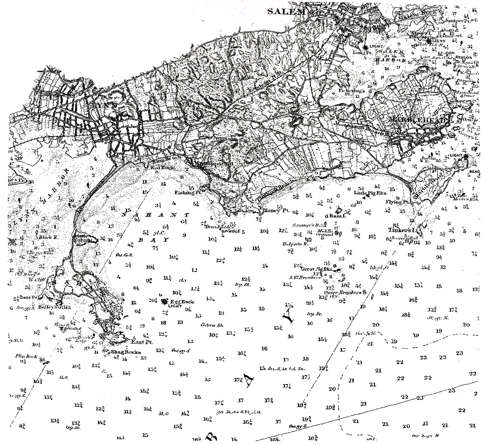
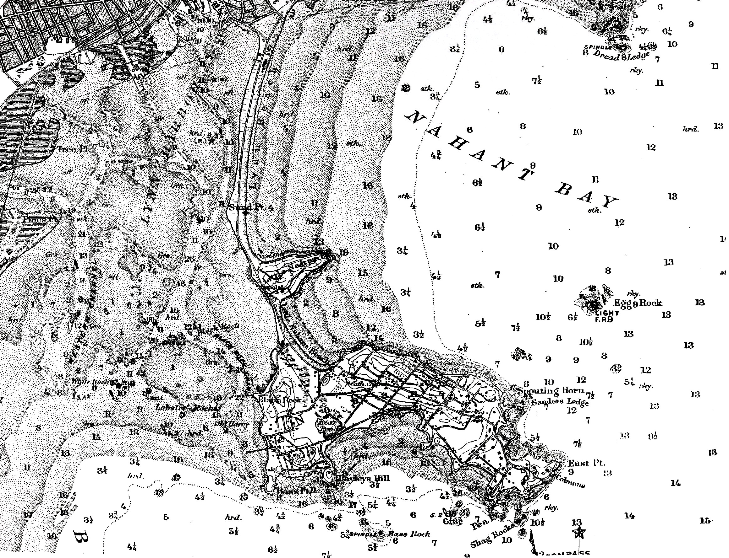
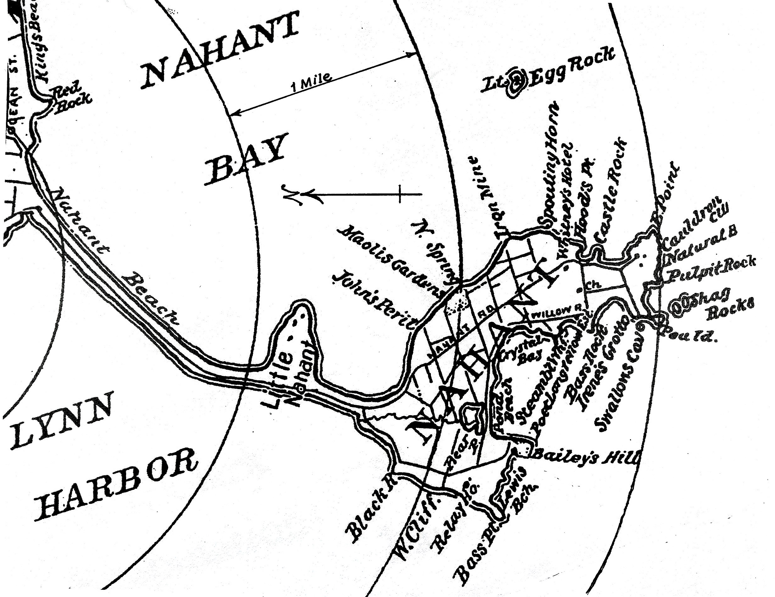
Located seven miles northeast of Boston, Nahant is essentially two rocky islands, connected to each other and to the city of Lynn by a sandy causeway. By the 1830s, it was a well-known resort for summer visitors (mainly from Boston) and as a sea mark for yachtsmen cruising the coast. As conspicuous as its rock formations were, the hotels which occupied Nahant’s southern end offered spectacular views of sea and shore in almost any direction.
–Erik Ronnberg

« previous // next »