An online project under the direction of the CAPE ANN MUSEUM
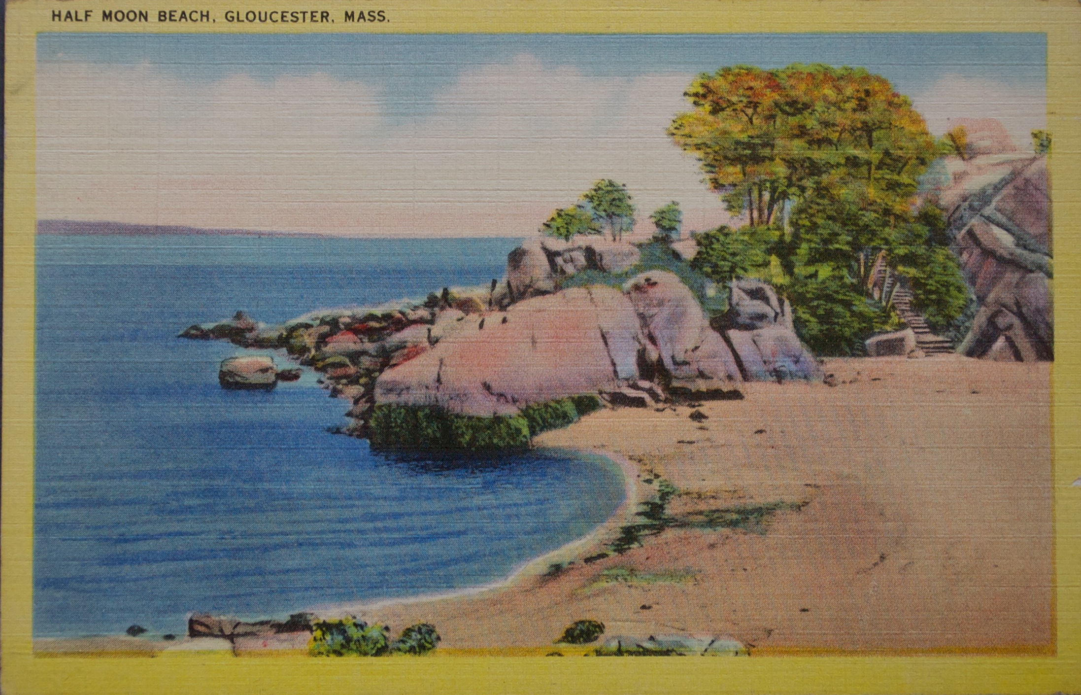
Half Moon Beach
View related Fitz Henry Lane catalog entries (7) »
Half Moon Beach is a small crescent of sand, nestled into Stage Fort Park, between Stage Point (where the remains of a Revolutionary War earthworks fort still stands) and a large ledge outcropping that on the far side houses the tablet commemorating the original 1623 settlement of the area by the Dorchester Company. At the time Lane painted his views of the Harbor in which one can see this beach, the entire little peninsula, once known as Fisherman's Field, was probably owned by the B. K. Hough family. The area, including this beach, is now public. From the beach, one can see much of the Outer Harbor, Pavilion Beach, and Ten Pound Island.
– Sarah Dunlap (June, 2015)
Related tables: Hough, Benjamin Kent » // Stage Rocks / Stage Fort / Stage Head »
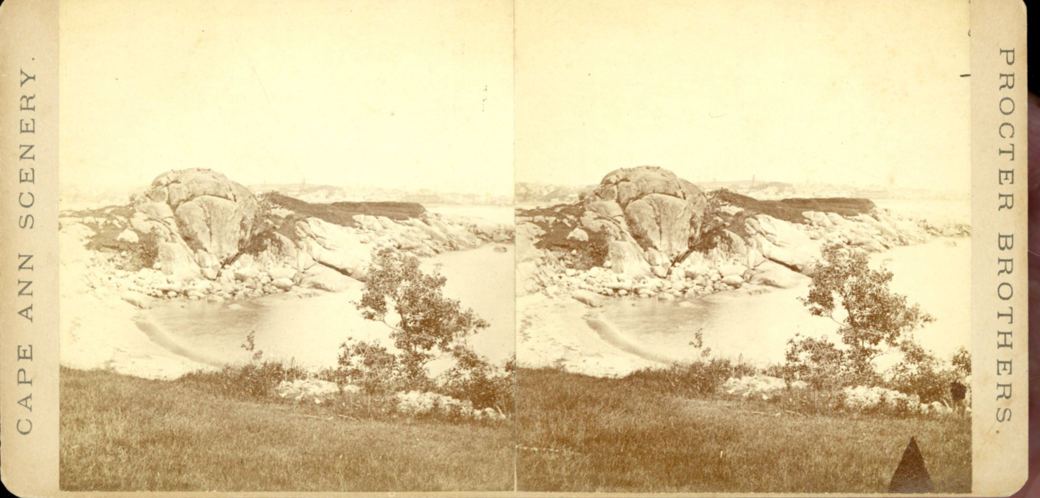
Stereograph card
Cape Ann Museum Library & Archive
Also filed under: Historic Photographs » // Stage Rocks / Stage Fort / Stage Head » // Western Shore »
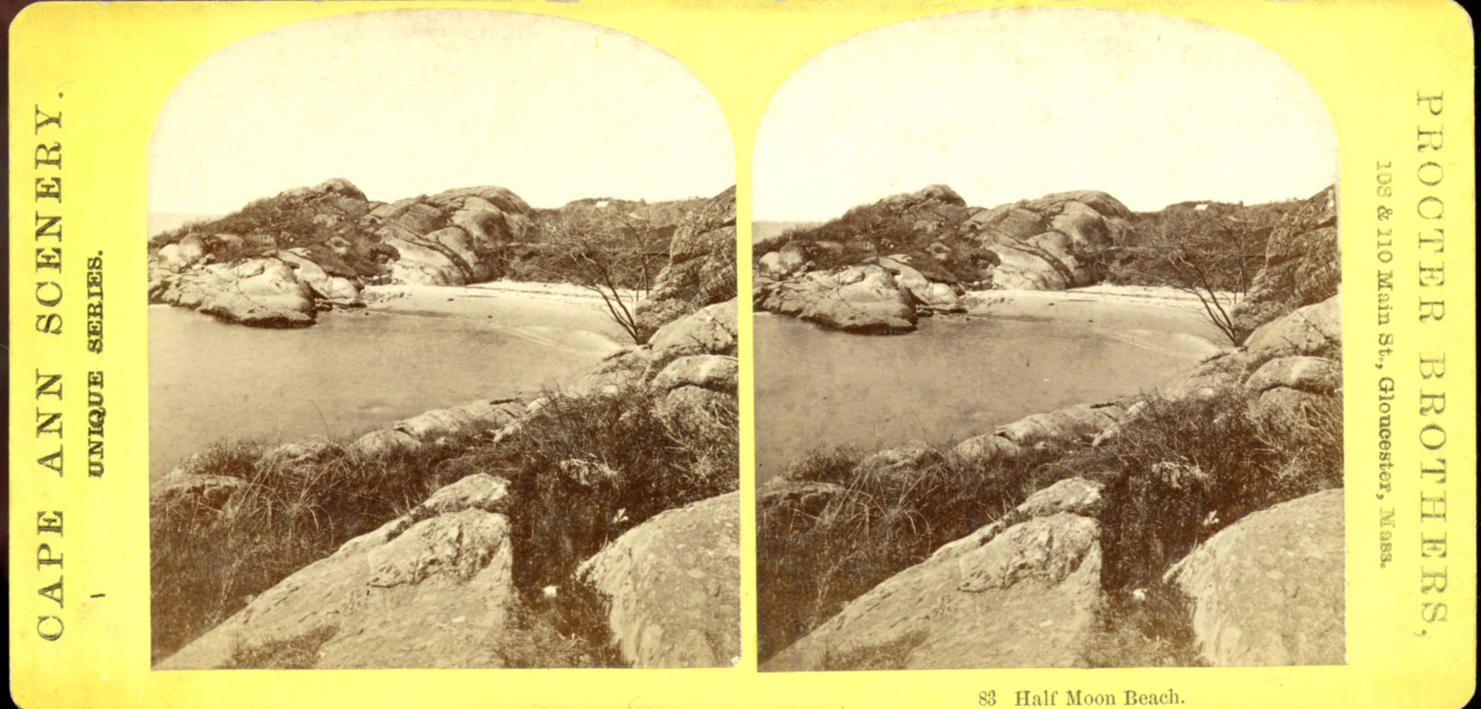
Stereograph card
Cape Ann Museum Library & Archive
Also filed under: Historic Photographs »
Newspaper
"Mr. Lane has just completed a third picture of the Western Shore of Gloucester Harbor, including the distance from 'Norman's Woe Rock' to 'Half Moon Beach.' It was painted for Mr. William E. Coffin of Boston, and will be on exhibition at the artist's rooms for only a few days; we advise all our readers who admire works of art, and would see one of the best pictures Mr. Lane has ever executed..."
"...solitary pine, so many years a familiar object and landmark to the fisherman."
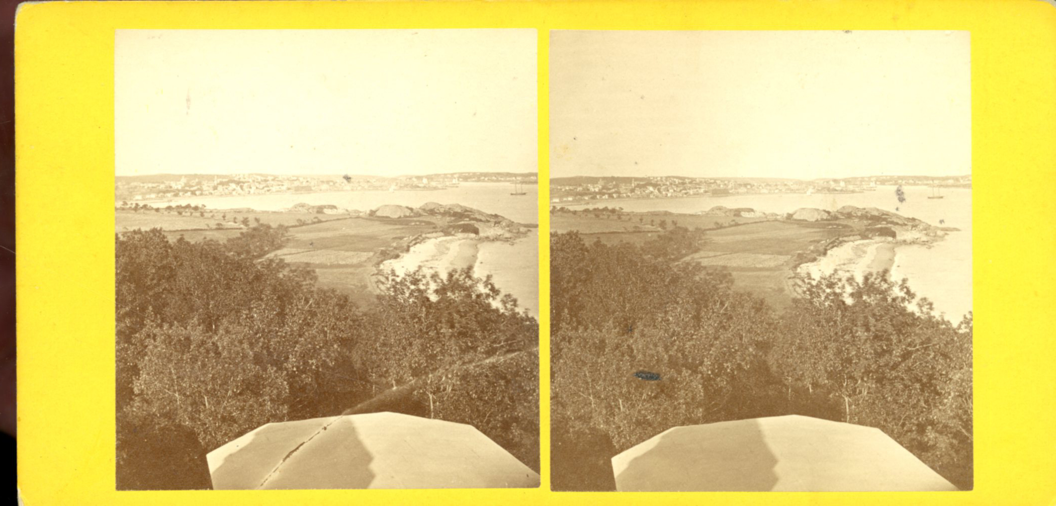
Stereograph card
Cape Ann Museum Library & Archive
Also filed under: Gloucester – City Views » // Historic Photographs » // Stage Rocks / Stage Fort / Stage Head » // Steepbank »
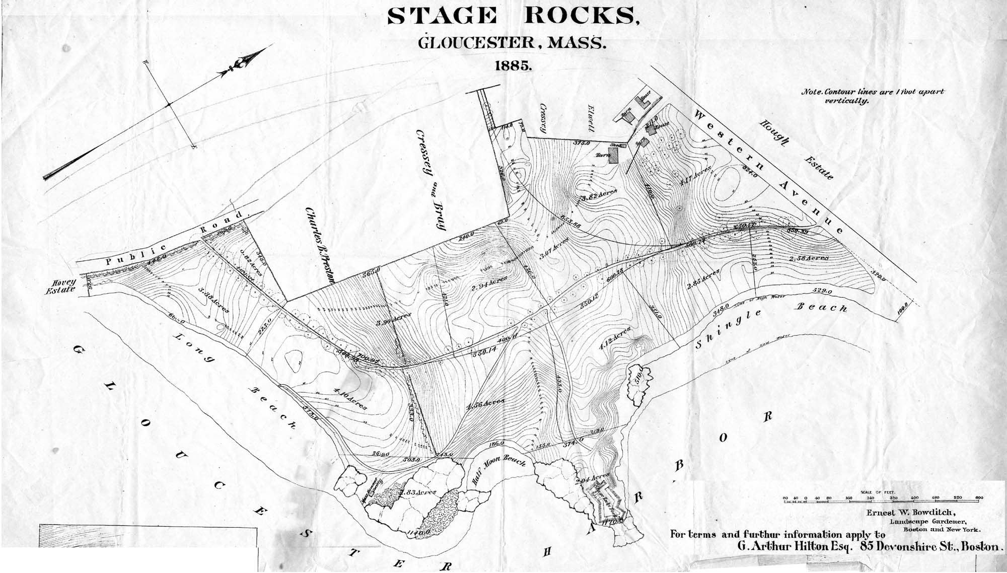
29 x 25 in.
Cape Ann Museum Library & Archive (#089)
Ernest Bowditch was a landscape gardener. This map shows some of the various names of landmarks around Stage Rocks.
Also filed under: Field Beach / Crescent (or Cressy's) Beach / Long Beach » // Maps » // Stage Rocks / Stage Fort / Stage Head »