An online project under the direction of the CAPE ANN MUSEUM
Historical Materials: Flags, Lighthouses, & Navigation Aids
Historical Materials » Flags, Lighthouses, & Navigation Aids » Beacons / Monuments / Spindles
You have navigated to this pages from catalog entry: View from Rocky Neck, Gloucester, 1850s (inv. 137)
Beacons / Monuments / Spindles
View related Fitz Henry Lane catalog entries (14) »
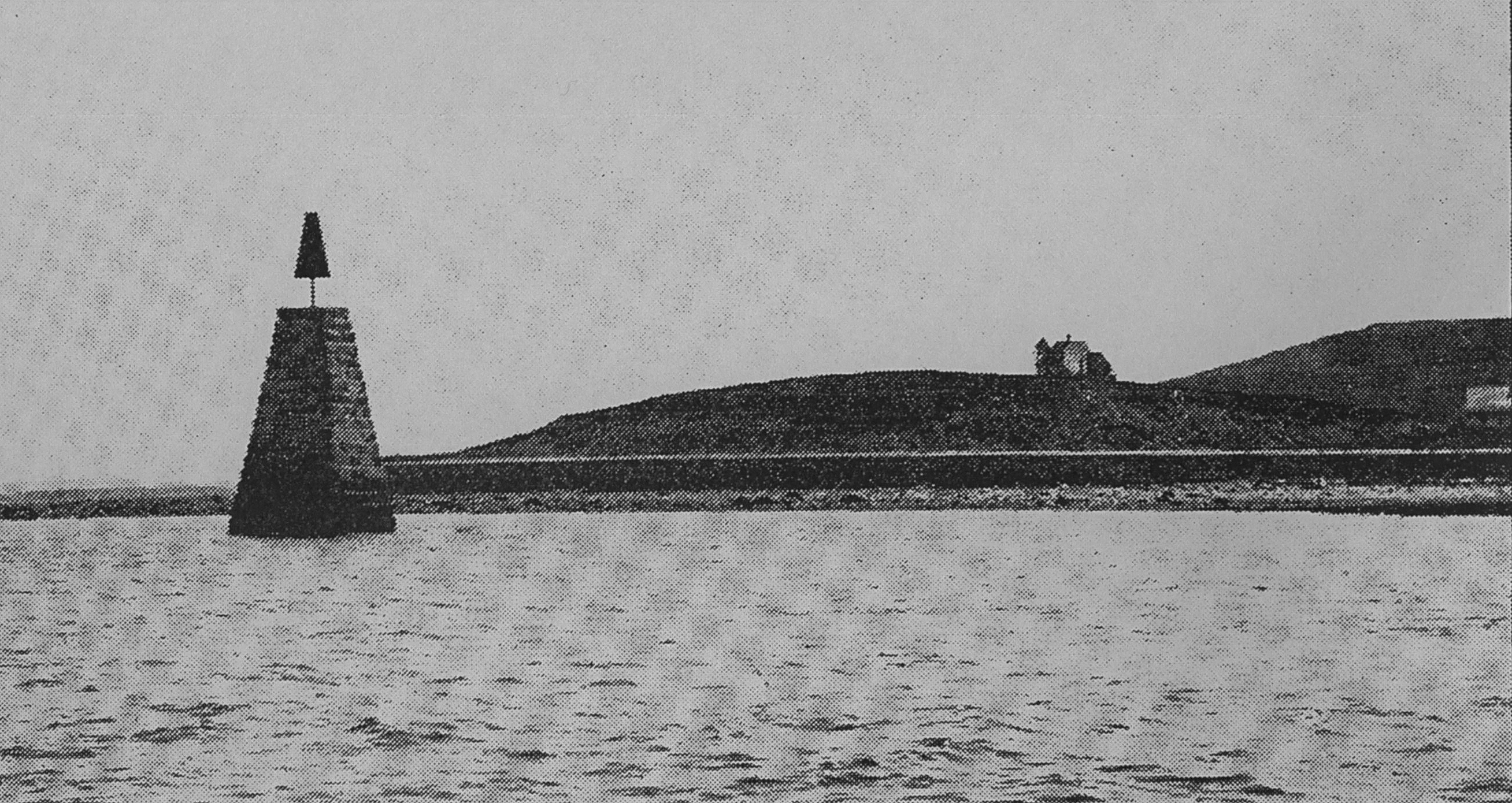
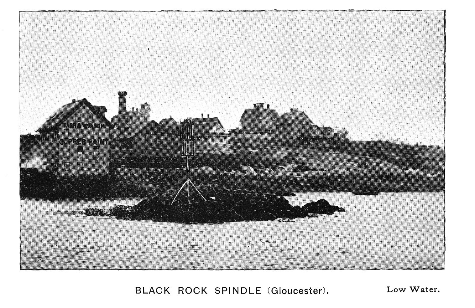
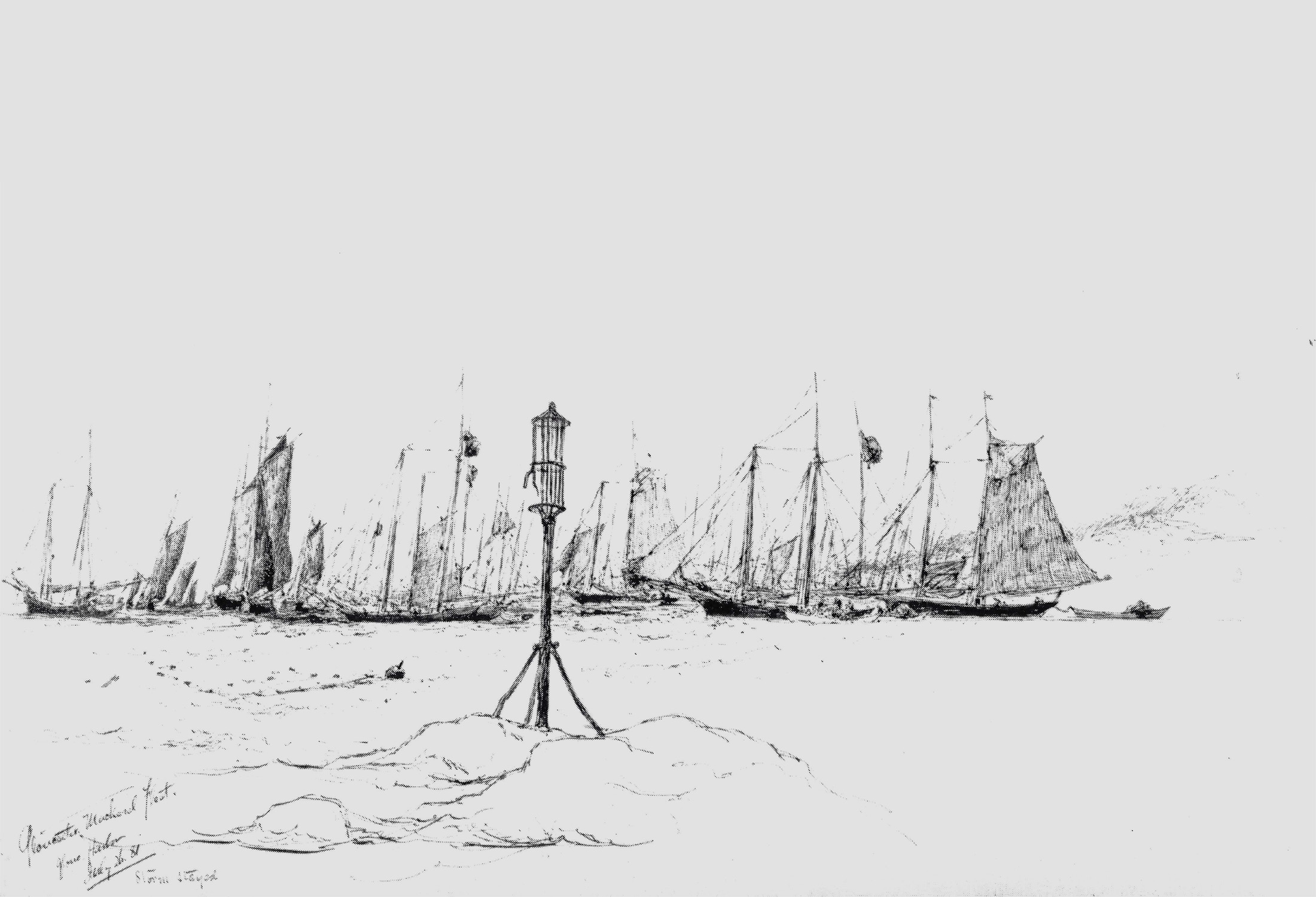
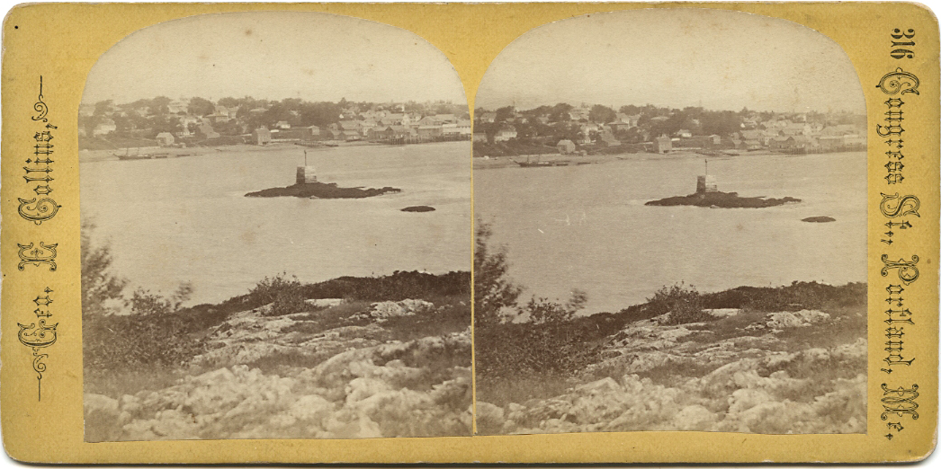
A "spindle" is a fixed marker to indicate a hazard to navigation (such as a rock which couldn't be seen at high tide). It serves the same purpose as a channel buoy, a "light beacon," or a “monument,” to warn vessels away from dangerous places or stretches of coastline. Spindles are usually iron rods with some sort of geometric object (round, flat, or triangular) on top, brightly painted (usually red) for visibility. Monuments, like the ones you see in Lane’s depictions of Half Way Rock or Norman’s Woe Reef, were made of stone and look like stumpy obelisks—or grave monuments. They were also essential as reference points for the early coastal surveys in their efforts to make more accurate charts.
In Castine, the notable square monument in the center of the harbor marked Hosmer's Ledge.
Related tables: Harbor Rocks » // Norman's Woe »
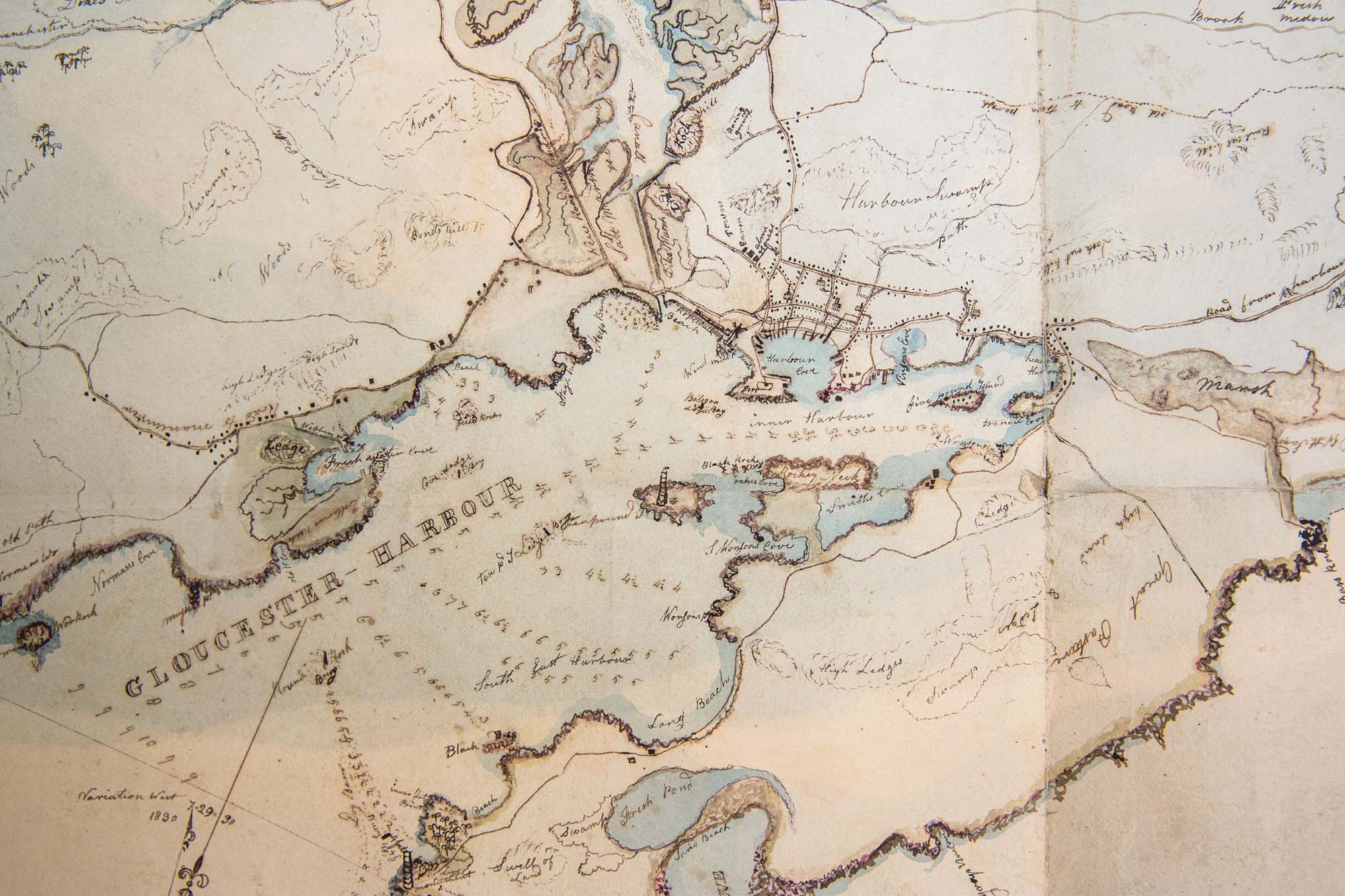
Series Maps. v. 13: p. 17
SC1 / series 48X
Massachusetts Archives, Boston
View related Fitz Henry Lane catalog entries (1) »
Also filed under: Gloucester Harbor, Inner / Harbor Cove » // Gloucester Harbor, Outer » // Gloucester, Mass. - "Ten Pound Island Light » // Gloucester, Mass. – Eastern Point Light » // Maps » // Mason, John » // Norman's Woe » // Pavilion (Publick) Beach » // Ropewalk »
Photograph in The Illustrated Coast Pilot with Sailing Directions. The Coast of New England from New York to Eastport, Maine including Bays and Harbors, published by N. L. Stebbins, Boston
Also filed under: Gloucester Harbor, Inner / Harbor Cove »
Pencil and ink on paper
15 x 22 1/8 in.
Cape Ann Museum, Gloucester, Mass., Gift of Mr. Donald K. Usher, in memory of Mrs. Margaret Campbell Usher, 1984 (2401.19)
Also filed under: Gloucester Harbor, Outer » // Mackerel Fishing »
Castine Historical Society Collections (1996.1)
View related Fitz Henry Lane catalog entries (2) »
Also filed under: Castine » // Historic Photographs »