An online project under the direction of the CAPE ANN MUSEUM
Historical Materials: Cape Ann Locales
Historical Materials » Cape Ann Locales » West Gloucester – Little River
You have navigated to this pages from catalog entry: Chebacco River, etc., from West Parish of Gloucester, 1850s (inv. 155)
West Gloucester – Little River
View related Fitz Henry Lane catalog entries (4) »
West Gloucester, or West Parish as it was more commonly called in Lane’s time, is a world apart in many ways. First it is not on Cape Ann, which is actually an island, it is mainland west of the cape, bounded by Essex and Manchester. Its coastline is all either salt marsh or beach if we use Little River as its southern boundary. The ocean is buffered by barrier beaches and salt marshes, and its warmer and calmer water provides a hatchery for a great number of the species of deepwater fish caught out of Gloucester.
Second Parish was the earliest name of this area. It was populated very early, around 1650, for unknown reasons because the area has poor soil for farming, endless granite moraines and limited access to the sea. From inception through 1716 the parish faithful went a long way to worship. They made their way a number of difficult miles overland to Rust Island, then ferried across the Annisquam River to Wolf Hill and walked again to Meetinghouse Green, site of the First Parish church. Finally they built their own meetinghouse in 1716 on the top of the hill on Tompson Street, still visible from a walking trail. This church lasted until 1846, when it was dismantled and moved and a new church built on Essex Ave.
In Lane’s time it was a very quiet area, the only activity being some small farms, a sawmill, a tidal grist mill on Walker Creek and some clamming and marsh haying. Lane came over at least several times, we have a drawing and painting from 1850 of a sunset view of the Chebacco River off Concord Street, then in 1860 several drawings and paintings of Coffin’s Beach and Freeman’s Encampment at the Loaf, a large sand dune behind Coffin’s Beach.
– Sam Holdsworth
Related tables: Coffin's Beach » // Wolf Hill »
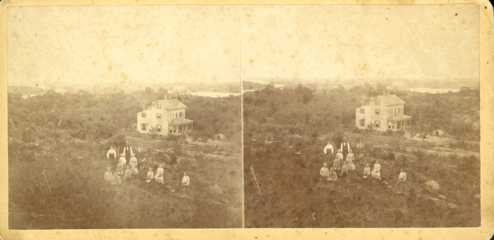
Stereograph card
Cape Ann Museum Library & Archive
Stereo View
Also filed under: Historic Photographs » // Low, Colonel David »
44 x 34 in.
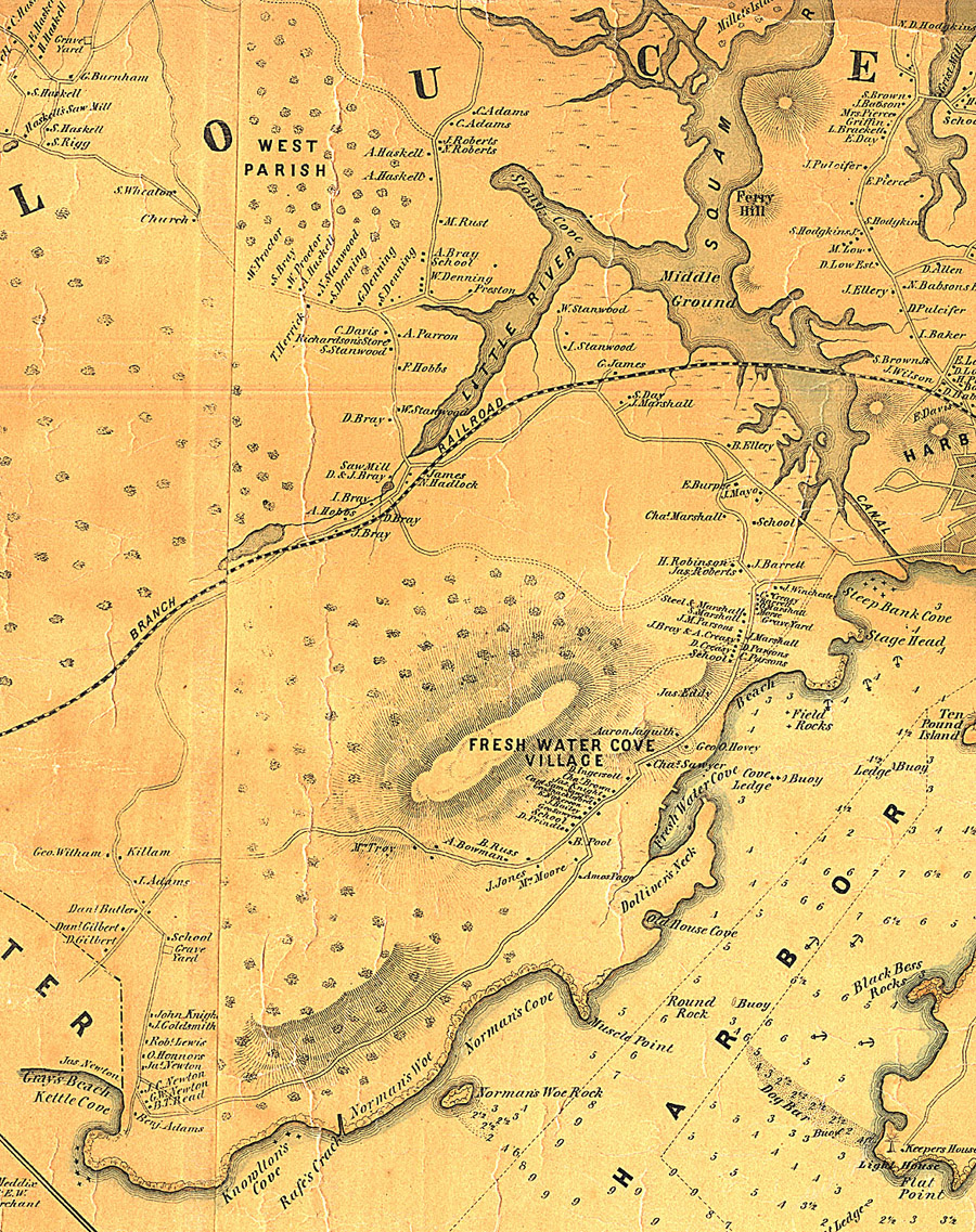
Henry Francis Walling, Map of the Towns of Gloucester and Rockport, Essex Co. Massachusetts. Philadelphia, A. Kollner, 1851
Cape Ann Museum Library & Archive
"Map of the Towns of Gloucester and Rockport, Massachusetts. H.F. Walling, Civil Engineer. John Hanson, Publisher. 1851. Population of Gloucester in 1850: 7,805. Population of Rockport in 1850: 3,213."
Also filed under: Annisquam River » // Brookbank » // Dolliver's Neck » // Fresh Water Cove » // Gloucester Harbor, Outer » // Maps » // Norman's Woe » // Stage Rocks / Stage Fort / Stage Head » // Steepbank » // Western Shore »