An online project under the direction of the CAPE ANN MUSEUM
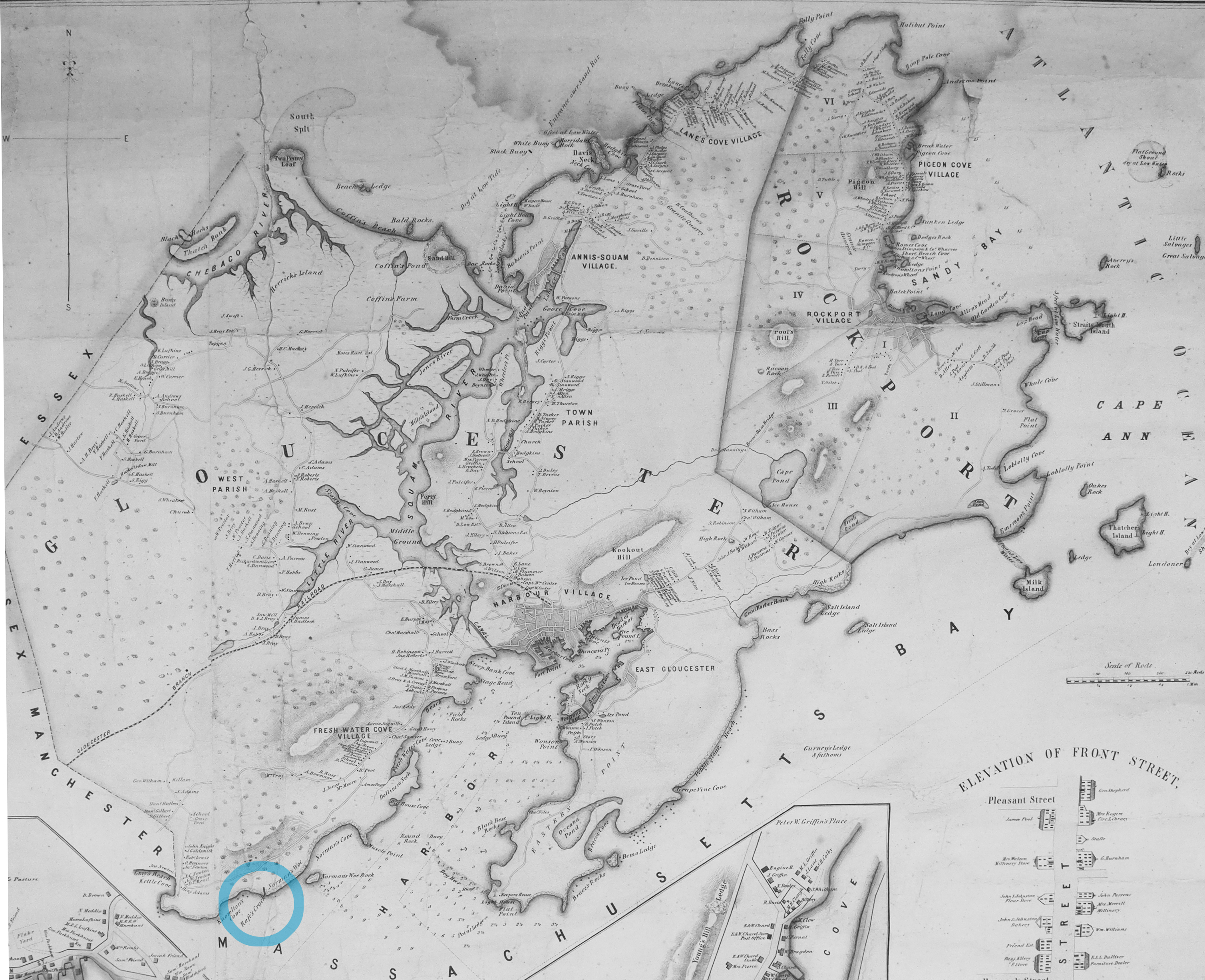
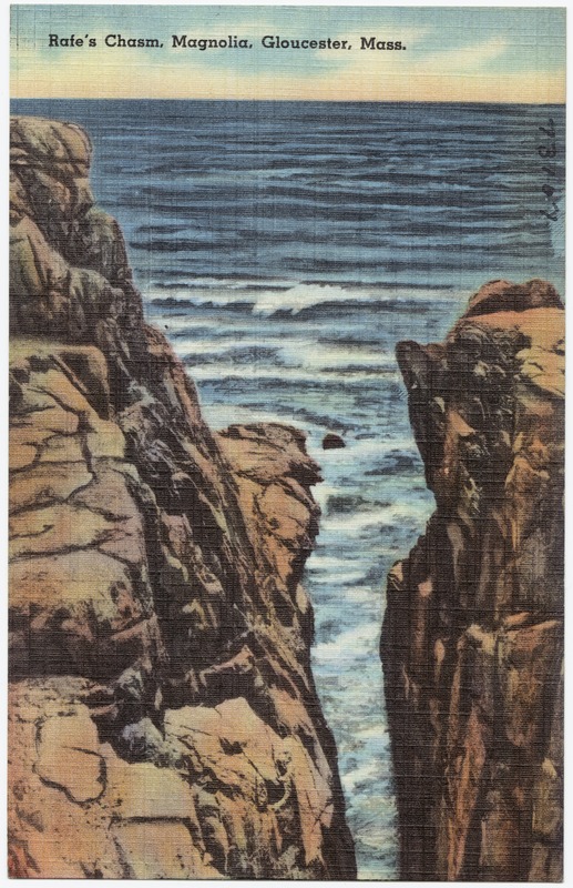
Rafe's Chasm
"It is not only from a scenic or utilitarian point of view that the rocks of Cape Ann possess an interest: they afford a few natural curiosities, that amply repay the trouble and fatigue of a visit to their several localities. One of these, Rafe’s Crack, which is said to have derived its name from a man named Ralph, who once resided in its vicinity, is a remarkable fissure in a ledge on the seacoast near Norman’s Woe and Kettle Cove. Its length forms a right angle with the shore, from which it extends more than two hundred feet. Is width is irregular; but the greatest is about ten feet. The depth from the highest part of the rock, forming one of its sides to low-water mark, is computed at sixty feet. The ledge is one of the most remarkable on the Cape; being compact, of great size, and presenting, ocean-ward, an aspect of singular boldness and grandeur. The view of the spot, and the hollow, thundering noise of the sea, as it is dashed back from the rocks at the upper end of the chasm, cause every visitor to feel the presence of a sublime and majestic influence." (1)
Reference:
1. John James Babson, History of the Town of Gloucester Cape Ann (Gloucester, MA: Peter Smith, 1972), 4.
Related tables: Norman's Woe »