Fitz Henry Lane
HISTORICAL ARCHIVE • CATALOGUE RAISONNÉ • EDUCATIONAL RESOURCE
An online project under the direction of the CAPE ANN MUSEUM
An online project under the direction of the CAPE ANN MUSEUM
Kennebec River
View related Fitz Henry Lane catalog entries (1) »
The Kennebec ranks fourth, in terms of length, 174 miles, among Maine's rivers, and is navigable to the head of navigation at Augusta, the state's capital. The Androscoggin River, Maine's third-longest river at 174 miles, joins the Kennebec at Merrymeeting Bay.
– Mark Honey
References:
Bill Caldwell, Rivers of Fortune: Where Maine Tides and Money Flowed (Portland, ME: Guy Gannett Publishing Company, 1983).
Roger F. Duncan, Coastal Maine: A Maritime History (New York: WW Norton & Co., 1992).
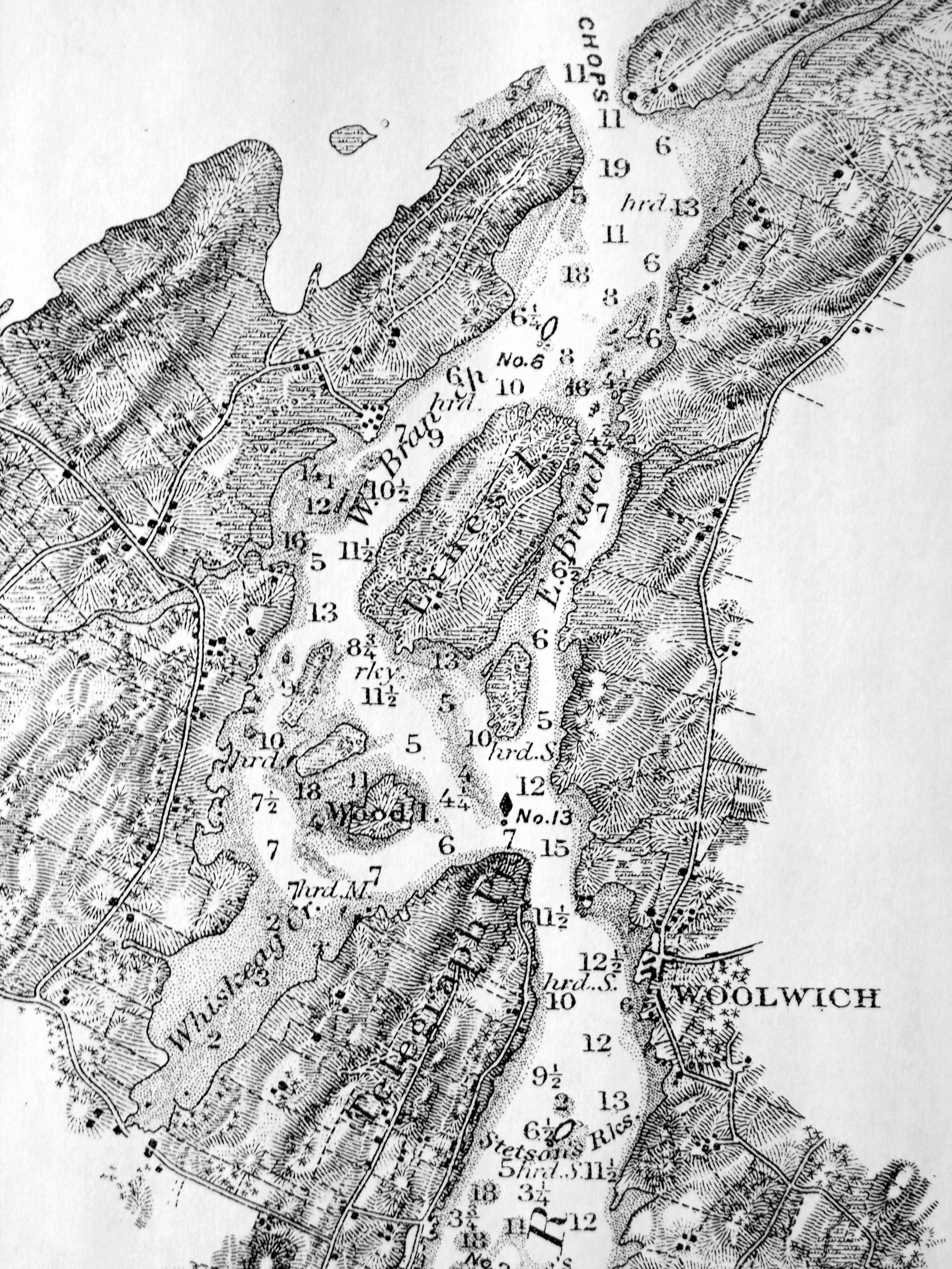
Chart of Kennebec River, Bath to the Chops
1879
Atlantic Coast Pilot, Subdivision 4
Washington GPO
Plate No. 1477, between pp. 372 and 373.
Atlantic Coast Pilot, Subdivision 4
Washington GPO
Plate No. 1477, between pp. 372 and 373.
Also filed under: Maps »